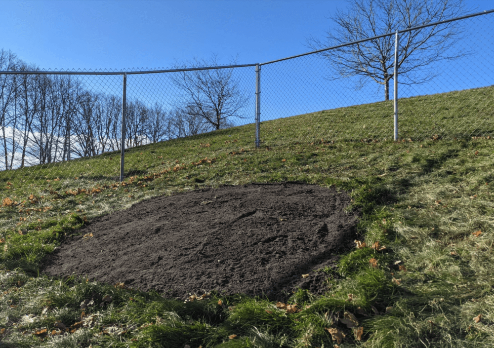
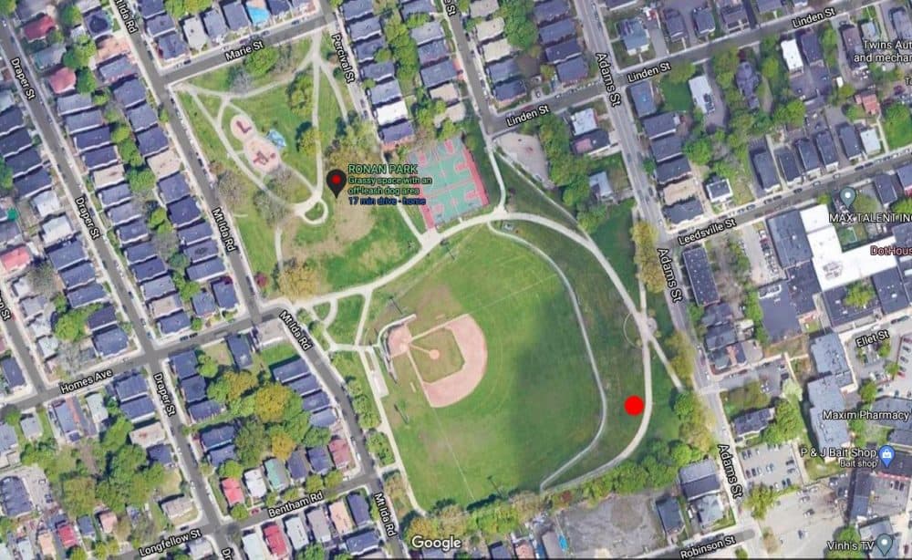
Boston archeologists have unearthed a trove of historical details about a sinkhole that opened up in near a pathway in Dorchester's Ronan Park in early December.
At the time, a cursory investigation (involving an iPhone and flashlights taped to a paint roller) revealed the existence of a well, likely built sometime in the 1800s. Only one "artifact" was found — a plastic liquor bottle likely tossed into the hole within days of its opening.
However, a new report released Friday by the Boston City Archaeology Program provides a more fulsome picture of the lives of some of the people who lived on the land encompassing the well. And reader, just a warning: this abridged historical record goes from very scant to very confusing in a hurry.
Still, in reading the report, one gets the sense of starting down the deep well of Boston's history, and in the darkness, seeing hints of the ugly realities of the time, such as the colonization of indigenous lands, patriarchal laws and deadly diseases. But one also gets a glimpse of how the land that we today call Ronan Park came to be.
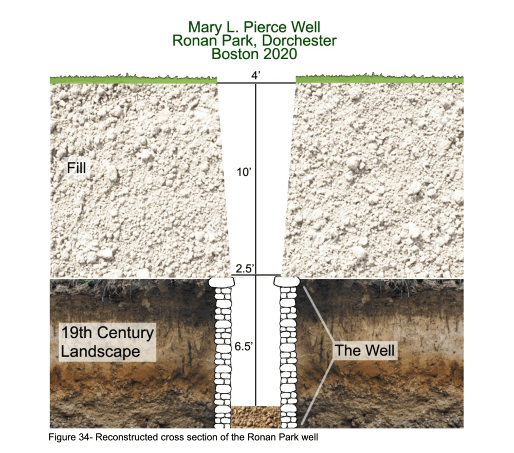
The Site's Indigenous History
Although Ronan Park has never been surveyed archaeologically, the report stated, it is likely that some Indigenous sites exist or once existed in the park, as Boston as a whole is part of the ancestral homelands of the Massachuestt. The closest intact sites are at Savin Hill and Commercial Point, both Massachuestt burial places that date to the 17th century.
European Colonization
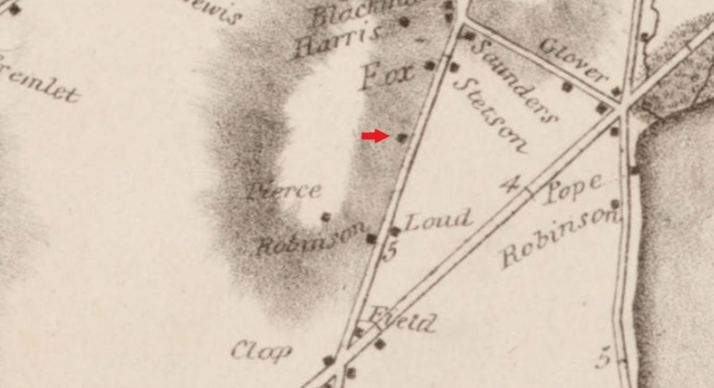
In 1630, European immigrants began colonizing the area just north of the site. And in 1793, historical records show that Thaddeus Mason Harris, a minister of the Dorchester First Parish Church located just north of Ronan Park, bought the land on which the site sits.
In 1818, a bricklayer named John Pierce purchased 10 acres of the land and built two homes for himself and his wife, Catherine B. Pierce, and their family — the second one at 151 Adams St., where the well was found.
John's son, Charles, would later marry Mary Lyman of Springfield in 1846. And by the 1850s, both appeared to be living in a house near 151 Adams St., along with their two children, a couple of Irish laborers and two Irish-born women, Kate Fitzgerald and Margaret Kohn, who the archeologists suggest may have been domestic servants.
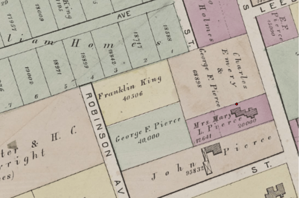
Mary's Story
In 1857, Charles died of typhoid fever but didn't leave a will, and in the years that followed Mary apparently fell on hard financial times. By law, she had to petition for an allowance from her husband's $43,000 estate. And the $355 she was awarded apparently wasn't enough for her and her two children to live on, because the 1865 state census has her living in a boarding house south of Fields Corner, along with 22 other people.
Later, Mary would purchase the property at 151 Adams St., which had been willed to various family members by her husband's father, John. Among the heirs whose stakes in the property she had to buy up to obtain title? Her own son, Charles Jr., and her daughter Elizabeth.
Mary died of cancer in November 1885. In her will, she left $1,000 to her neighbor, $100 to her servant, and $50 to her nurse. Her daughter Elizabeth would receive the Adams Street house, and the rest of her $18,000 estate — unless she got married.
Elizabeth, And The Rest Of The Story
Elizabeth died from a kidney disease in 1892 and was buried at Mount Benedict cemetery in West Roxbury. And while she remained unmarried and did not have children during her life, the report states that "Elizabeth’s will and probate reflects a social life filled with family and long-time friends," naming 28 people in her will.
The report goes on to state that Elizabeth's will made "a clear preference for the women in her life, with twenty women named in her will and just nine men, and the women receive the vast majority of her estate, totaling nearly $30,000, with just $5,000 given to men. It is clear that Elizabeth chose to financially support the women in her life more than the men."
In 1893, the executors of Elizabeth's estate sold the property to Hannah Bliss for “one dollar and other valuable considerations to us" — although the historians do not know why.
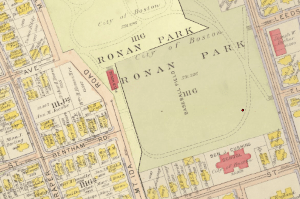
In 1910, at about 82 years old, Bliss died of a cerebral hemorrhage. And her heirs sold the property to the city of Boston, which would later used the land to build Ronan Park.
Want More?
There are more depths to plumb in this report, if you are a nerd for that kind of thing — from geologic analysis to analyses to the history of waterworks in Boston. Here's the report in full.
"story" - Google News
January 25, 2021 at 03:54AM
https://ift.tt/3qOoPQl
Colonialism, Patriarchy And Family Drama: Boston Archeologists Dig Up The Story Beneath Ronan Park Sinkhole - WBUR
"story" - Google News
https://ift.tt/2YrOfIK
https://ift.tt/2xwebYA
Bagikan Berita Ini


0 Response to "Colonialism, Patriarchy And Family Drama: Boston Archeologists Dig Up The Story Beneath Ronan Park Sinkhole - WBUR"
Post a Comment